Flathead Lake’s east shore has a mountain view that does most of the scenic work without any effort from the visitor: pull off at the right spot, and the Mission Mountains are simply there, rising behind the water. It’s easy to take that view for granted, but the range itself is a real, distinct, and legally protected piece of landscape with its own designation, its own elevation profile, and its own seasonal rhythm — worth understanding on its own terms rather than treating as generic scenic backdrop.
What the Mission Mountains Are
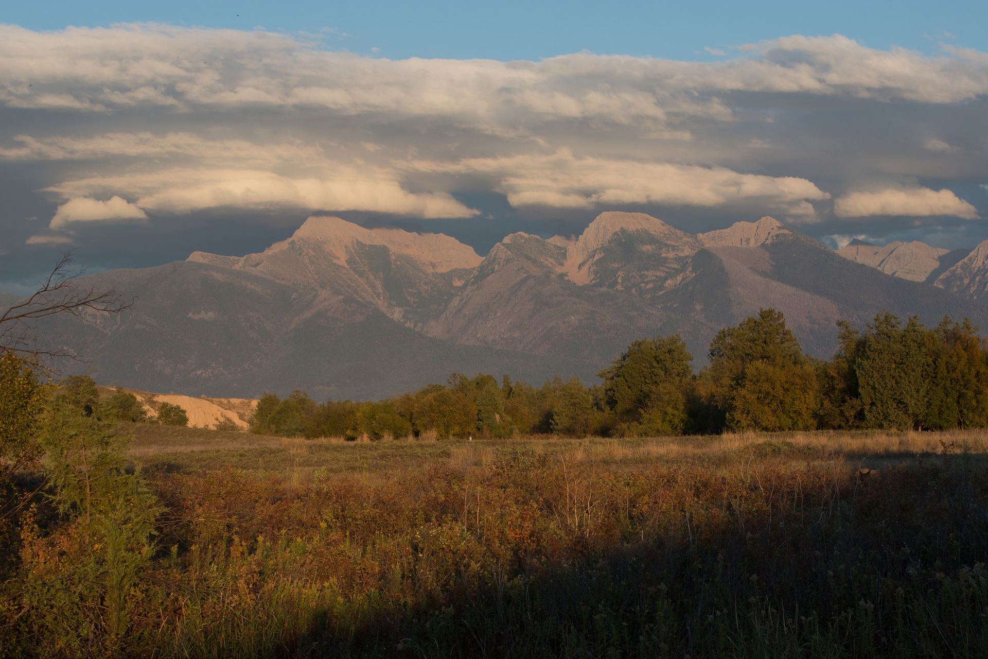
The Mission Mountains are a genuine, named sub-range of the Rockies in northwestern Montana, running roughly north-south along the eastern edge of the Mission Valley, south and east of Flathead Lake. They aren’t a single ridge or a handful of peaks — the range includes around a dozen summits in the 9,000-foot class, topped by McDonald Peak at 9,820 feet, the range’s highest point.
The range also carries real wilderness protection, split between two adjoining designations. The eastern side, facing the Swan Valley, is the Mission Mountains Wilderness, established by Congress in 1975 under the National Wilderness Preservation System and covering roughly 73,877 acres, managed by the U.S. Forest Service. The western side — the slopes that face the Mission Valley and, in the distance, Flathead Lake — lies within the Flathead Indian Reservation and is protected separately as the Mission Mountains Tribal Wilderness, about 91,778 acres set aside by the Confederated Salish and Kootenai Tribes in 1982. It holds the distinction of being the first wilderness area in the country established by a tribal government rather than a federal or state agency, and it’s specifically this west-facing side of the range — including McDonald Peak itself — that forms the backdrop visible from the lake.
That’s a useful distinction to know even if you never set foot in either wilderness: the jagged skyline you’re looking at from the lakeshore isn’t an undifferentiated “mountain view,” it’s a specific, named, and doubly protected landscape with its own management history.
Best Viewing Areas From the Lake’s East Shore
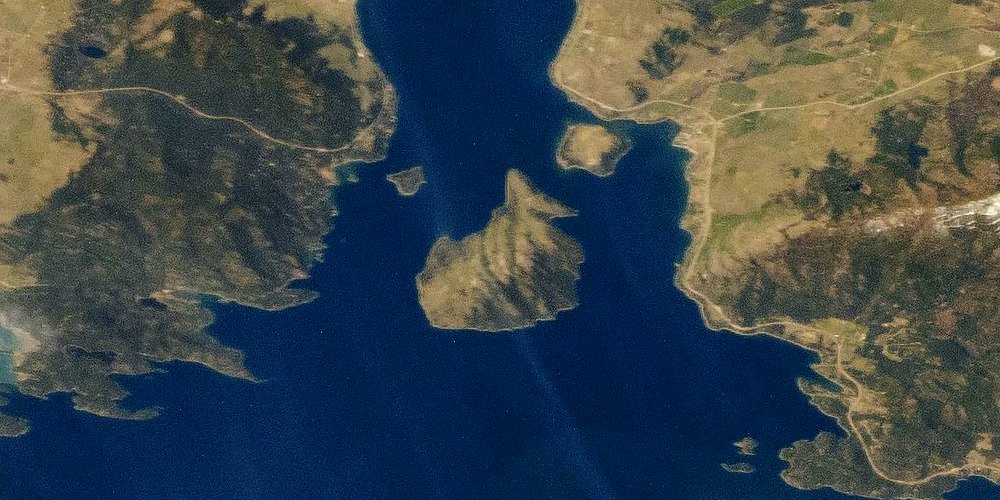
As covered in our guide to photographing the lake, the east shore’s public access points are the most reliable places to take in the Missions without a hike or a permit. Yellow Bay, one of the lake’s state park units, sits in open, gravelly terrain with an unobstructed sightline across the water toward the range — close enough that the peaks read as a genuine wall of mountain rather than a distant, hazy line. Farther south, Finley Point opens up a wider-angle view, one that takes in Wild Horse Island out on the water and the Mission Mountains rising behind it in the same general frame, which is part of why it’s a well-known stop for visitors taking in the lake’s scenery rather than simply passing through.
Both spots share the same basic advantage: they’re day-use public parks with parking and open shoreline, so getting the view doesn’t require any special access or effort. The angle changes a little as you move along the shore — a straight-on view near Yellow Bay, a more layered composition with the island near Finley Point — but the range itself dominates the horizon from nearly anywhere along this stretch of shoreline. The west shore, by contrast, looks toward the lower, less dramatic Salish Mountains, which is why the classic “lake with jagged peaks behind it” impression of Flathead Lake specifically comes from standing on the east side and looking across, or from the west shore looking back toward the Missions across the water.
A Range That Holds Snow Into Summer
One reason the Missions read as dramatic even outside of winter is that the higher peaks keep snow long after the valley floor and the lake itself have warmed up. Snow-draped summits are a regularly reported, expected feature of the range well into summer, not an unusual or one-off occurrence, and the highest elevations near McDonald Peak hold a few small glaciers and permanent snowfields that persist year to year, even as the amount of snow cover in any given season depends on how heavy the previous winter was.
Practically, that means the view from the lake changes with the calendar without ever really disappearing. Spring and early summer typically show the most extensive snow cover, a bright white line along the upper third of the range against green lower slopes. By late summer, that cover retreats to patches on the highest peaks and the persistent snowfields near the summits, and by fall, an early season storm can put a fresh dusting back on the range while the valley and lake are still in shirt-sleeve weather. It’s one of the more reliable ways to gauge the season just by looking east from the shoreline.
The McDonald Peak Grizzly Bear Closure
Part of what keeps the Mission Mountains’ west-facing wilderness as wild as it looks from the lake is a seasonal closure most visitors never notice, because it applies to a stretch of high country almost nobody passing along the shoreline is trying to reach. Since 1981, a roughly 10,000-acre area around McDonald Peak — about ten percent of the Mission Range, and country with essentially no maintained trail — has been closed to all recreational entry every year from July 15 through October 1.
The closure exists for one specific reason: army cutworm moths. Each summer, these moths migrate to high-elevation talus slopes and cliff bands in the Missions, where they concentrate in large numbers to feed on alpine wildflowers at night and shelter in rock crevices by day. Grizzly bears have learned to dig them out, and the moths are worth the effort — by weight, roughly 72 percent fat, which makes them a far more calorie-dense meal than a bear gets from a deer or an elk carcass. A bear that spends a full season gorging on moths at elevation can put on significant fat reserves heading into hibernation, and biologists have found that bears who get that uninterrupted high-elevation feeding season tend to cause fewer conflicts at lower elevations once they come back down in fall, since they’re not arriving underweight and searching harder for food near people.
None of this changes anything about viewing the range from Yellow Bay, Finley Point, or the water — the closure area sits well up in the wilderness, far above and behind the skyline visible from the lake. But it’s a useful piece of context for understanding why the Missions function as genuine, functioning grizzly habitat rather than just a scenic backdrop: a documented, decades-old management decision keeps a meaningful chunk of the range’s highest country undisturbed at exactly the time of year the bears need it most.
Anyone whose interest goes beyond viewing and toward actually hiking into the west-facing Mission Mountains Tribal Wilderness — the side that forms the lake view — needs more than just trailhead directions. Because the tribal wilderness is managed entirely by the Confederated Salish and Kootenai Tribes as sovereign land, any visitor who isn’t an enrolled tribal member must buy a Tribal Conservation Permit before entering, available at many local outdoor gear stores and valid for a season running March 1 through the end of February. That’s a genuinely different requirement than the U.S. Forest Service permit-free access on the range’s eastern, Swan Valley-facing wilderness, and it’s easy to miss if you’re used to the no-permit norm on most federal wilderness land elsewhere in Montana.
Fitting the View Into a Lake Visit
For most visitors, the Mission Mountains are a view to be had rather than a destination to hike into on the same trip — the range’s own trailheads are on the valley side, reached separately from any of the lake’s shoreline access points, so a Missions hike is realistically its own outing rather than an add-on to a day at the lake. That’s not a limitation so much as a reasonable division of trip planning: treat the lakeshore as where you take in the range, and treat an actual approach into the wilderness as a different day with its own research and preparation.
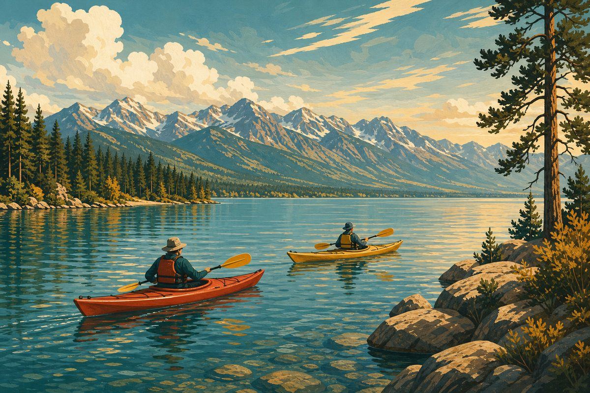
Within that framing, there’s real variety in how to experience the view. A stop at Yellow Bay or Finley Point costs nothing but a short drive and gives you the classic elevated, open vantage. Getting out onto the water changes the picture entirely, as covered in our kayaking guide — from a kayak, the peaks sit lower in your field of view but loom larger relative to the water, and on a still morning before the lake’s typical afternoon wind picks up, the range can throw a near-mirror reflection across the surface, a genuinely different photo and a genuinely different experience of the same mountains. Either way, the Missions are one of the few features of a Flathead Lake visit that require no special timing, no ticket, and no advance planning to appreciate — just a clear day and a spot along the east shore to stand and look.
Frequently asked questions
What is the highest peak in the Mission Mountains, and how tall is it?
McDonald Peak, at 9,820 feet, is the range's highest point. It sits within the Flathead Indian Reservation on the west side of the range — the side generally facing the Mission Valley and, in the distance, Flathead Lake — and it's one of roughly a dozen Mission Mountains peaks in the 9,000-foot class.
Can you really see the Mission Mountains from Flathead Lake?
Yes. The range rises along the lake's east shore and is a prominent, well-documented backdrop from public viewpoints there, including the state park units at Yellow Bay and Finley Point. It's one of the more recognizable mountain views in this part of Montana, not a subtle or hard-to-spot feature.
Is the Mission Mountains Wilderness a federally designated wilderness area?
Yes. Congress designated the Mission Mountains Wilderness in 1975 under the National Wilderness Preservation System, protecting roughly 73,877 acres on the range's eastern side, managed by the U.S. Forest Service. It's a real, mapped wilderness boundary, not an informal name for the mountains generally.
What's the difference between the Mission Mountains Wilderness and the Mission Mountains Tribal Wilderness?
They're two separate, adjoining designations on opposite sides of the same range. The U.S. Forest Service's Mission Mountains Wilderness (1975) covers the east side, facing the Swan Valley. The west side — facing the Mission Valley and, beyond it, Flathead Lake — is the Mission Mountains Tribal Wilderness, roughly 91,778 acres set aside by the Confederated Salish and Kootenai Tribes in 1982. It was the first wilderness area of its kind established by a tribal government in the United States, and it's the side of the range that shapes the view most people see from the lake.
Do the Mission Mountains hold snow all summer?
On the higher peaks, yes, at least in patches. Snow-draped summits are a commonly reported, year-in-year-out feature of the range through much of the summer, and a few small glaciers and permanent snowfields — including one near McDonald Peak — persist at the highest elevations. It's genuinely part of what makes the range look dramatic from the lake even in July and August, though how much snow remains in any given year depends on the previous winter.
Is part of the Mission Mountains closed to hikers?
Yes — a roughly 10,000-acre area around McDonald Peak, about a tenth of the range, is closed to all recreational entry every year from July 15 through October 1. The closure protects grizzly bears that gather there to feed on army cutworm moths, an unusually fat-rich food source at high elevation. It's a high-country closure with no bearing on views from the lakeshore.
Can I hike into the Mission Mountains directly from the lake?
Not directly — the range is a separate destination from the lakeshore itself, reached from its own trailheads on the valley side rather than from any of the lake's state park units. Treat a Mission Mountains hike as its own trip, planned and researched on its own terms, rather than an extension of a day spent at the lake.
What's the best way to take in both the lake and the mountains on one visit?
A stop at an east-shore viewpoint like Yellow Bay or Finley Point gives you the classic combination of open water and the range rising behind it, with little effort required. For a different angle, our kayaking guide covers launching onto the lake itself, where a calm morning can put the peaks in near-mirror reflection on the water — a genuinely different view of the same mountains.