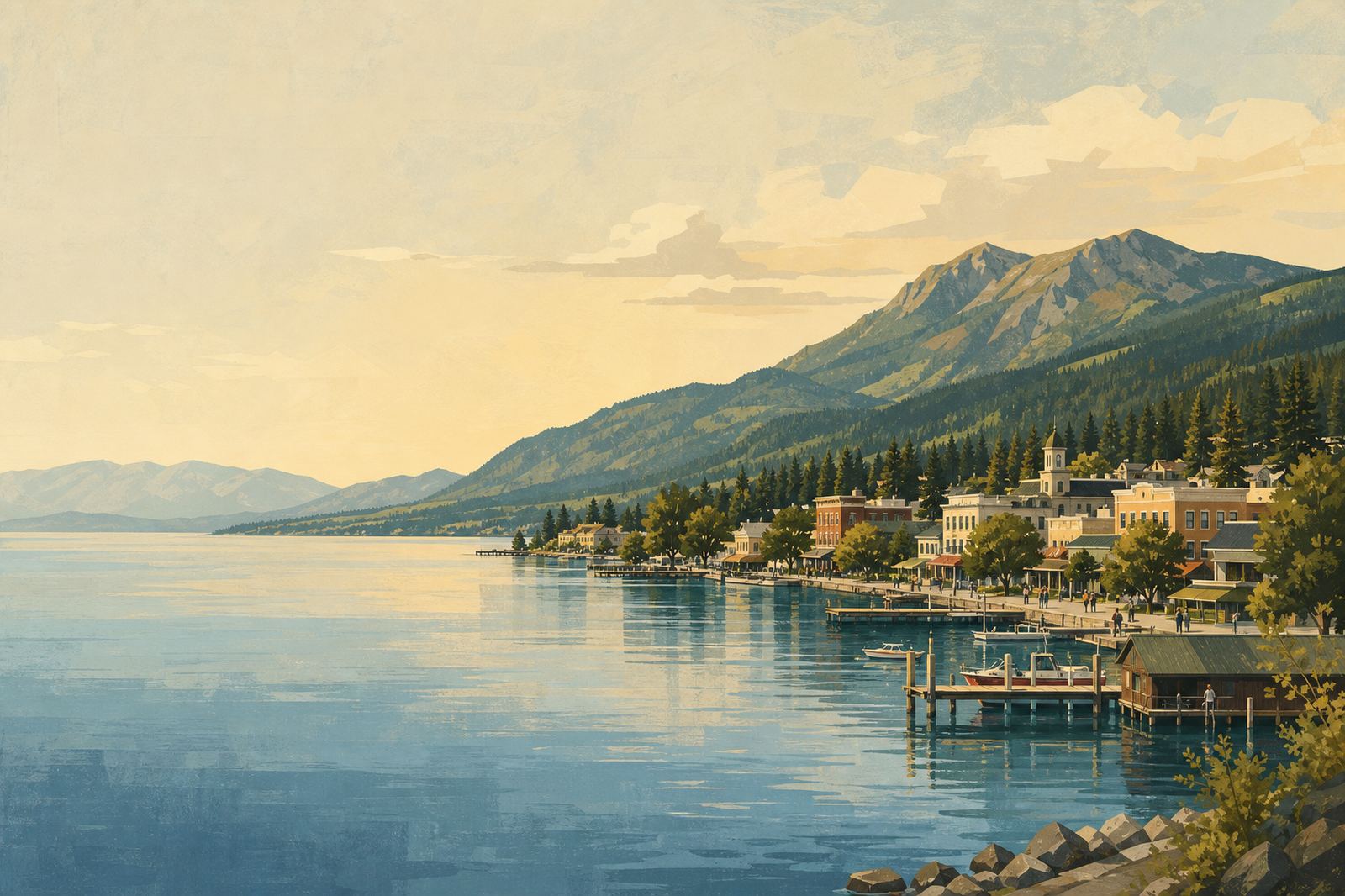
A small lakeshore town on Flathead Lake with docks and mountains behind
Around the shoreline

Towns Around Flathead Lake

Polson, Somers, Bigfork and the smaller towns that ring the lake: launches, access points, and what each one is actually like.

Editorial illustration.

Flathead Lake doesn't have one central base — it has several small towns spread around the shoreline, and which one makes sense depends on what you're doing. Polson sits at the lake's south end, where the Flathead River leaves the lake and runs down through Kerr Dam; it's the natural gateway to the whitewater and float-trip water downstream.

Bigfork sits at the opposite end, at the mouth of the Swan River on the northeast shore, and works better as a base for Jewel Basin hiking and the Highway 35 side of the lake. Somers, on the north shore near where Highway 93 meets the lake, is smaller and quieter than either, with its own public beach and boat launch.

All three connect by the two highways that ring the lake — 93 on the west shore, 35 on the east — so a multi-day trip often uses more than one as a base rather than picking just one.

Lodging and restaurant options are more concentrated in Bigfork and Polson than in Somers, which functions more as a quiet launch point than a full-service base. Worth knowing before you plan around any one town: the southern half of the lake, including Polson, sits within the Flathead Indian Reservation, which matters for fishing licenses even if it doesn't affect where you can stay or eat.
3 guides in this section, independent editorial with no operator partnerships or booking flow.

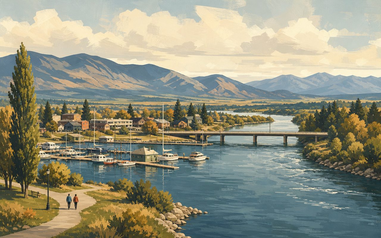
Polson's marina where Flathead Lake narrows into the Flathead River
Towns

Polson, Montana: Flathead Lake's South Shore Gateway

Where Flathead Lake drains into the Flathead River below Kerr Dam, at the edge of the Flathead Indian Reservation — Polson's place on the map.

Read the guide →
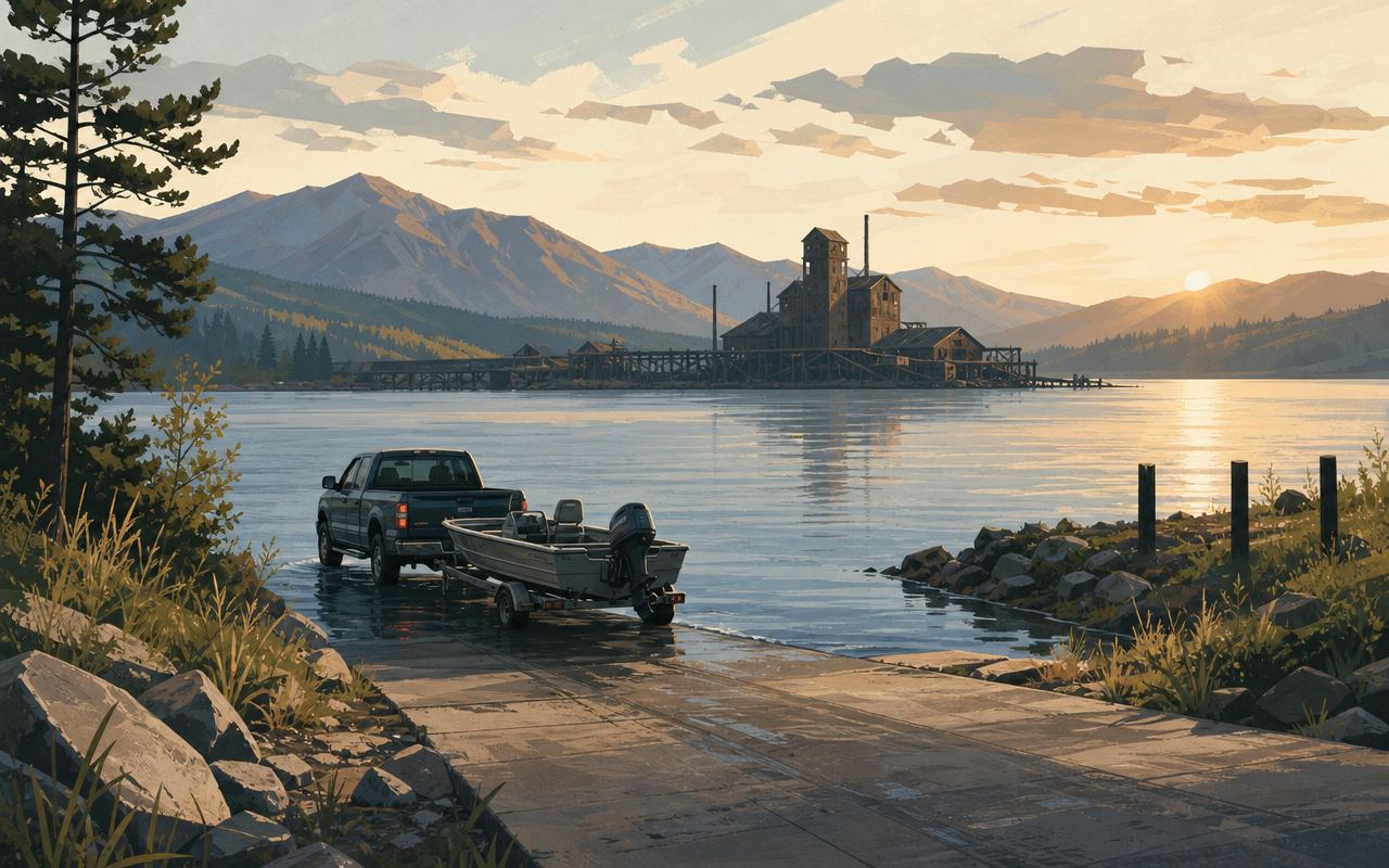
A small-town boat launch at sunrise, a truck and trailer at the ramp, calm bay beyond
Towns

Somers, Montana: Boat Launches & Flathead Lake Access

Where Somers sits on the lake's north end, what public access exists at Somers Beach State Park, and how it fits into a paddling trip.

Read the guide →
A small lakeside village street with brick storefronts, a marina with sailboats beyond
Towns

Bigfork, Montana: Flathead Lake's Village by the Bay

Where Bigfork sits on Flathead Lake, what the town is known for, and how it connects to the lake's kayaking, whitewater, and hiking access points.

Read the guide →

Frequently asked questions

How far apart are Bigfork and Yellow Bay?

Yellow Bay is roughly 12 to 15 miles south of Bigfork along Montana Highway 35, the two-lane route that traces the lake's east shore.

How do I get from Bigfork to the Jewel Basin Hiking Area?

From Bigfork, drive north on Highway 35 to Highway 83, then follow Echo Lake Road and Jewel Basin Road to the main trailhead — roughly 2,500 vertical feet above Bigfork and the lake, with steep gravel on the final stretch.

What's the closest airport to the lake?

Glacier Park International Airport (FCA) in Kalispell, about 26 miles and roughly a 35-minute drive from Bigfork, and a comparable distance from Somers or Polson depending on which shore.

Should I base myself at one town or move around?

For a multi-day trip, moving between towns usually makes more sense than picking one: Polson puts you closest to the whitewater and lower river, Bigfork to the trails and the east-shore drive, and Somers to a quieter north-shore launch.

Does it matter which shore I stay on?

Yes, mainly for driving time. The west shore (Highway 93, past Somers and Polson) is the faster through-route; the east shore (Highway 35, past Bigfork and the cherry orchards) is slower and more scenic. Which one suits you depends on whether you'd rather save time or take the longer, more scenic drive.