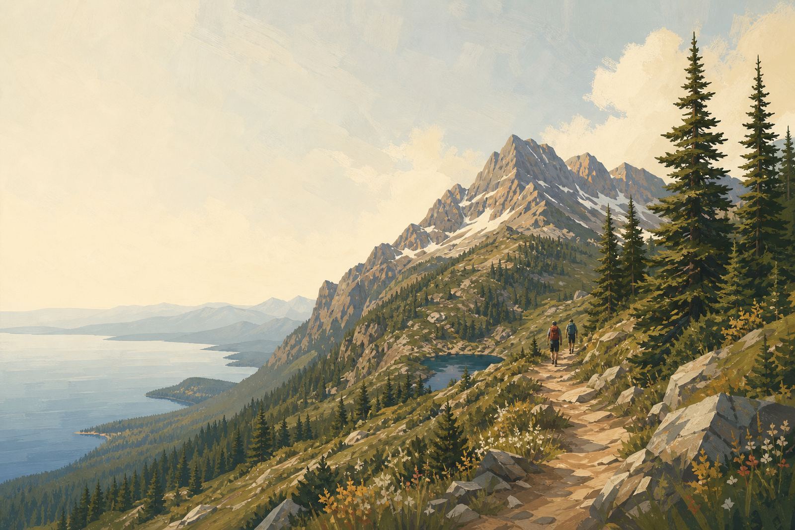
A forest trail climbing toward alpine peaks above Flathead Lake
Beyond the shoreline

Trails Around Flathead Lake

Alpine lakes, hiker-only basins, and the trail network around Flathead Lake, for the days you're off the water.

Editorial illustration.

Most of the high country around Flathead Lake is Forest Service and wilderness-adjacent land, and a handful of trails do most of the work of getting people into it. Jewel Basin, in the Swan Range above Bigfork, has been a hiking-only area since 1970: no bikes, no horses, just foot traffic across roughly 15,000 acres and 27 named alpine lakes, most reached from the Camp Misery Trailhead off Jewel Basin Road.

Closer to the lake's north end, Stanton Lake sits a short, easy hike off US Highway 2 on Trail #146, inside the Great Bear Wilderness below Great Northern Mountain.

Two more trails sit above Whitefish, a short drive north of the lake: Danny On Trail climbs Whitefish Mountain Resort's main slope, and Columbia Mountain is a steeper, quieter alternative nearby. None of these require technical gear, but elevation, weather, and trailhead access all vary — each guide below covers the specifics for its own trail rather than treating them as interchangeable.

None of these trailheads have a visitor center, running water, or cell coverage worth counting on, so the usual backcountry basics apply: carry your own water, check current Forest Service conditions before you drive up, and expect the higher lakes in Jewel Basin to hold snow later into the season than a lower, more sheltered trail like Stanton Lake.
2 guides in this section, independent editorial with no operator partnerships or booking flow.

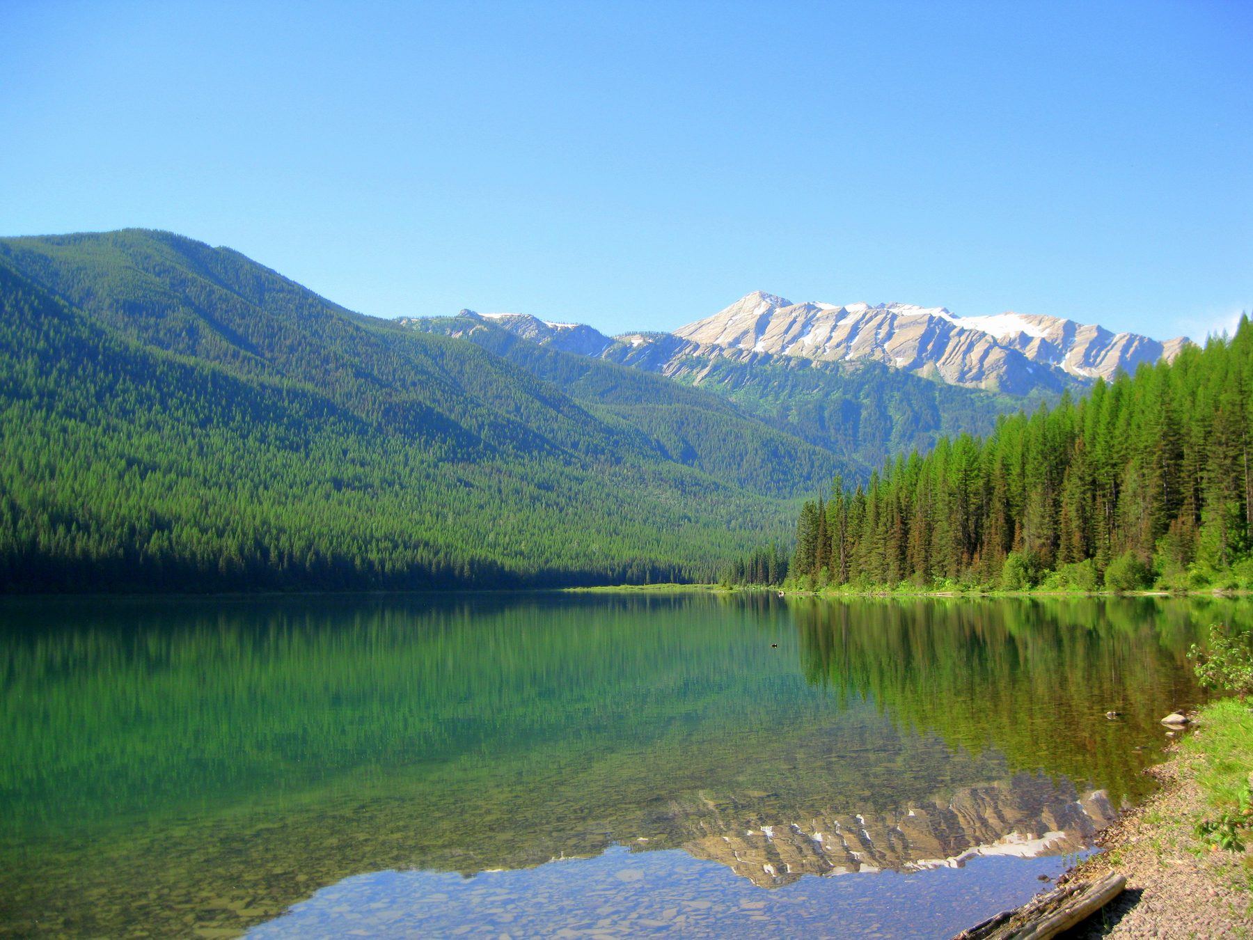
Stanton Lake, clear and green, reflecting forested slopes and Great Northern Mountain
Trails

Stanton Lake Trail Guide: An Easy Hike Off Highway 2

A short trail off US Highway 2 to a glacier-fed lake below Great Northern Mountain, on the Great Bear Wilderness edge — distance and difficulty.

Read the guide →
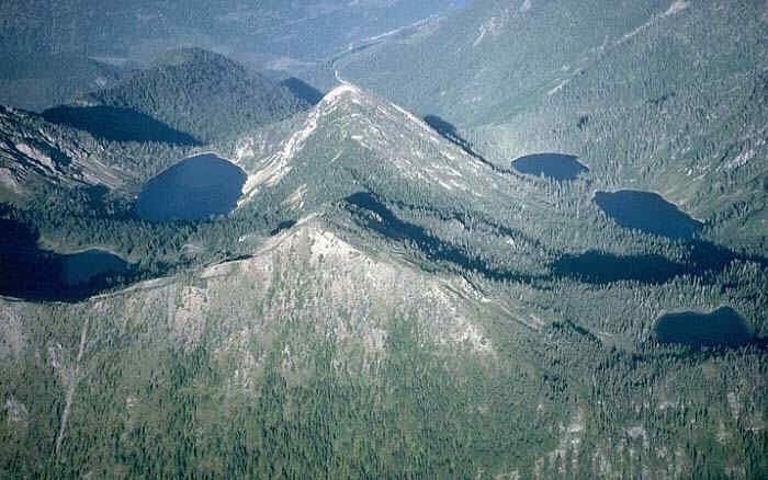
Aerial photo of Jewel Basin, a forested ridgeline in the Swan Range with alpine lakes below
Trails

Jewel Basin Hiking Area: A Hiker-Only Guide Above Flathead Lake

27 alpine lakes, 35 miles of trail, and no bikes or horses allowed: what to know about the Jewel Basin Hiking Area above Bigfork before you drive up.

Read the guide →

Frequently asked questions

Is Jewel Basin really closed to bikes and horses?

Yes. Jewel Basin has been managed as a hiking-only area since its designation in 1970, and Forest Service regulations prohibit motorized vehicles, mountain bikes, and horses or other stock across the entire hiking area.

Where does the main Jewel Basin trailhead start?

Most hikers start at the Camp Misery Trailhead, reached via Forest Service Road No. 5392 (Jewel Basin Road), which climbs off Echo Lake Road east of Montana Highway 83.

What trail number is Stanton Lake, and how hard is it?

Trail #146, reached directly off US Highway 2. It's an easy, quick hike to the lake, on the edge of the Great Bear Wilderness — a realistic half-day from the north end of Flathead Lake.

Do any of these trails require a permit or day-use fee?

No day-use fee or permit is listed for Jewel Basin or Stanton Lake specifically, but requirements can change — check current Flathead National Forest guidance before a trip, especially for overnight camping.

Can I bring my dog on these trails?

Dogs are generally allowed but must be leashed and under control at all times on Forest Service trails in this area — none of these are off-leash trails, even on quiet stretches.

Which of these trails is best for a first visit?

Stanton Lake is the easiest and most accessible, reached directly off US Highway 2 with no long drive up a gravel road. Jewel Basin rewards a longer visit once you've got a full day to spend, since the trailhead itself is a steeper drive and the lakes worth seeing are spread across the basin.