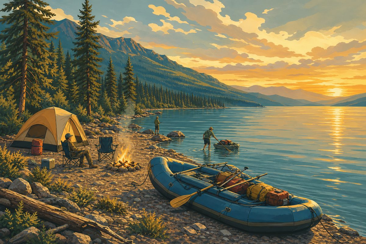
Whitewater Rafting on the Flathead
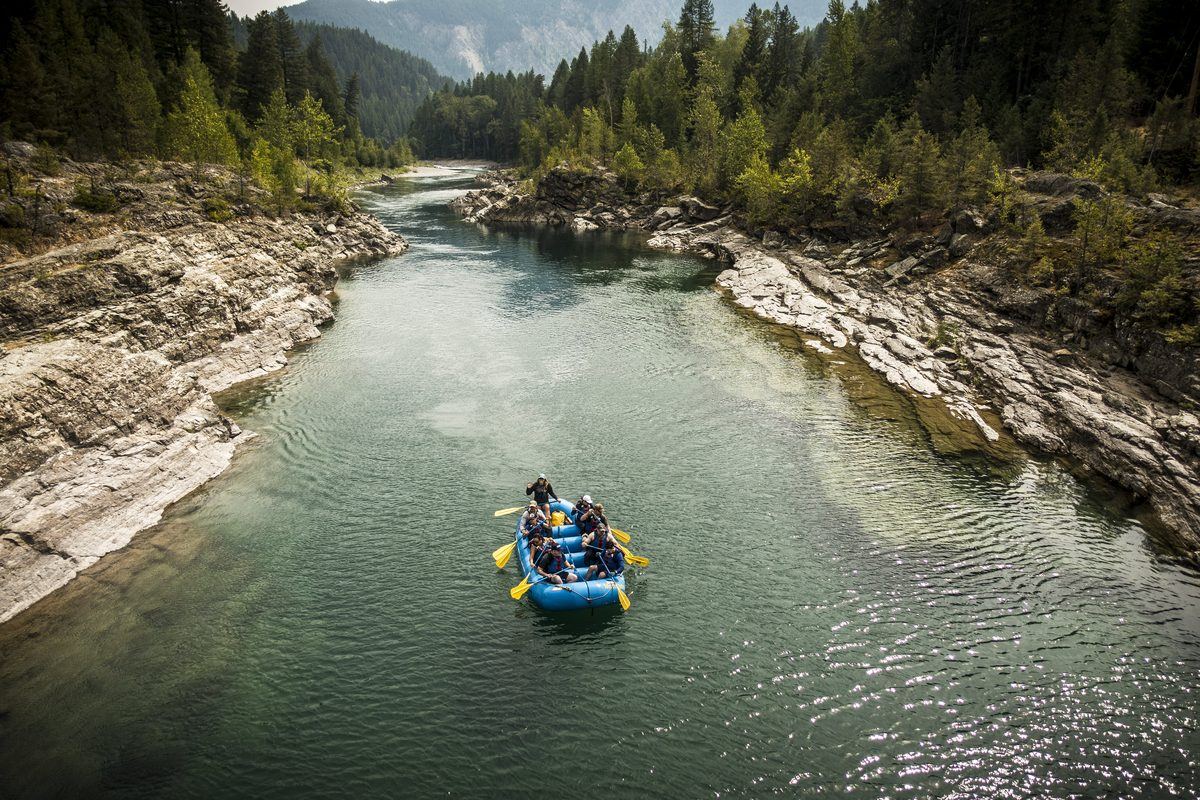
John Stevens Canyon on the Middle Fork near West Glacier, and the Lower Flathead below Kerr Dam. Which months run big, and which stretch suits a first-timer.
Middle Fork · West Glacier · Kerr Dam Read the guide →
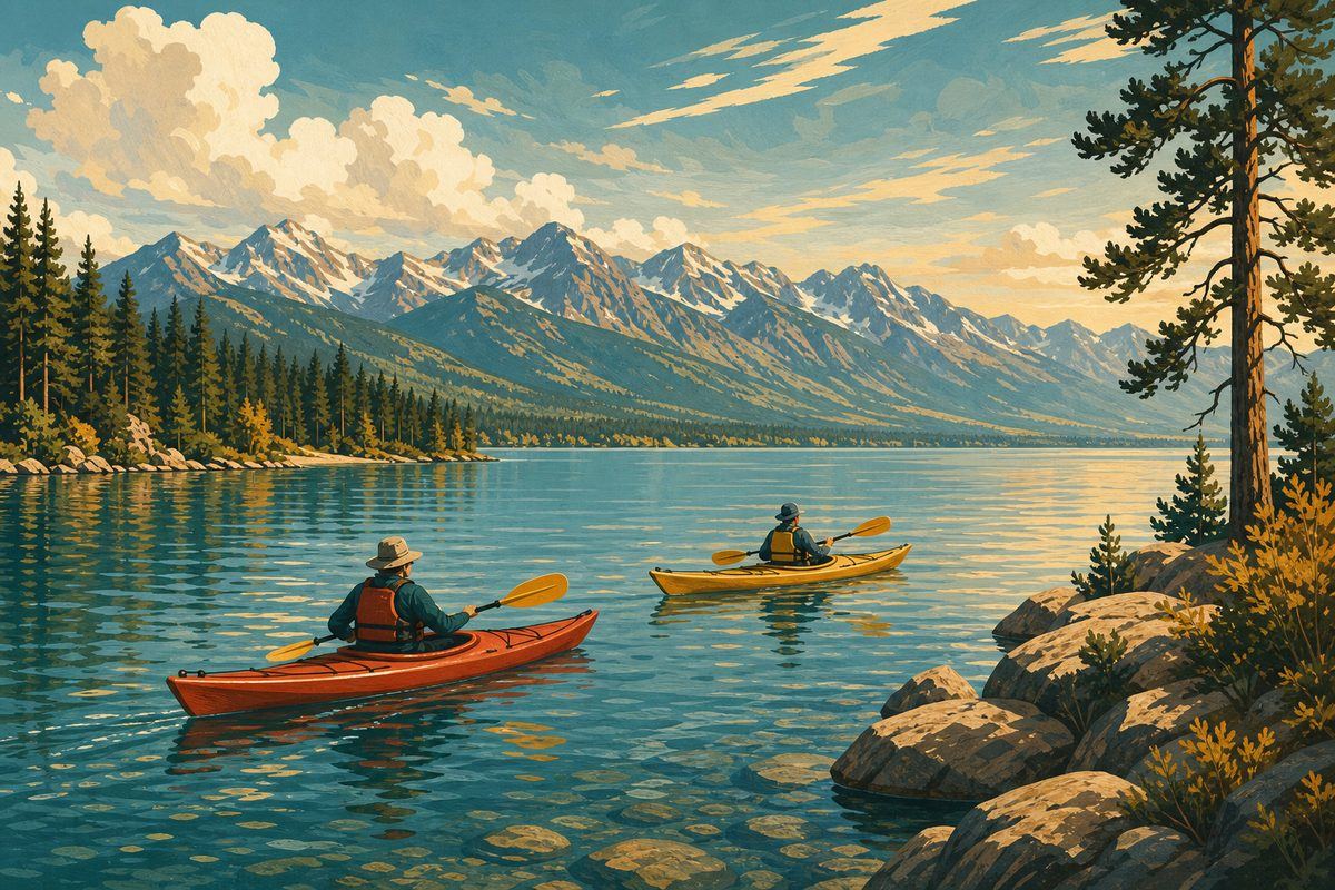
An independent field guide to Flathead Lake and the rivers that feed it: paddling routes from Somers to Yellow Bay, whitewater on the Middle Fork, the boat-only crossing to Wild Horse Island, and the trails beyond the shoreline. There's no shortage of things to do at Flathead Lake once you know where the water actually takes you.
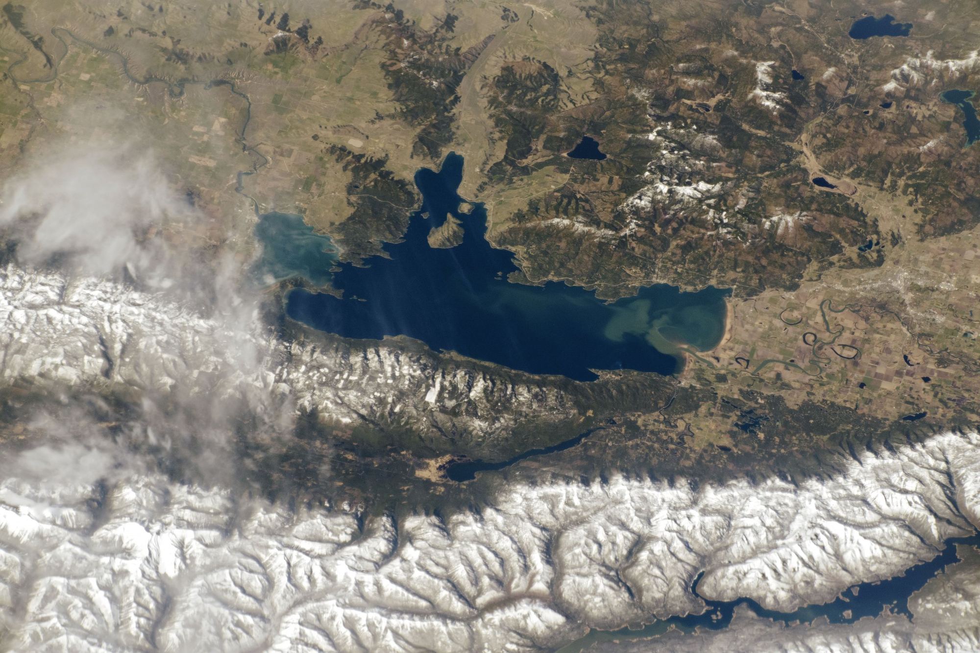
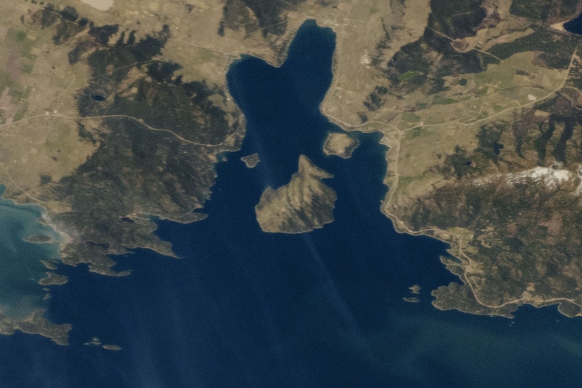
An astronaut aboard the ISS photographed Flathead Lake on April 29, 2019. This annotated version lets you tap a marker to see where each route in this guide starts.
Pick a pace and get a real starting point, the route in named places, and the guide that covers it. No account, no email, no booking.
Where to launch, what the water's like, when to go, and what's required — real access points, not vague directions.

John Stevens Canyon on the Middle Fork near West Glacier, and the Lower Flathead below Kerr Dam. Which months run big, and which stretch suits a first-timer.
Middle Fork · West Glacier · Kerr Dam Read the guide →
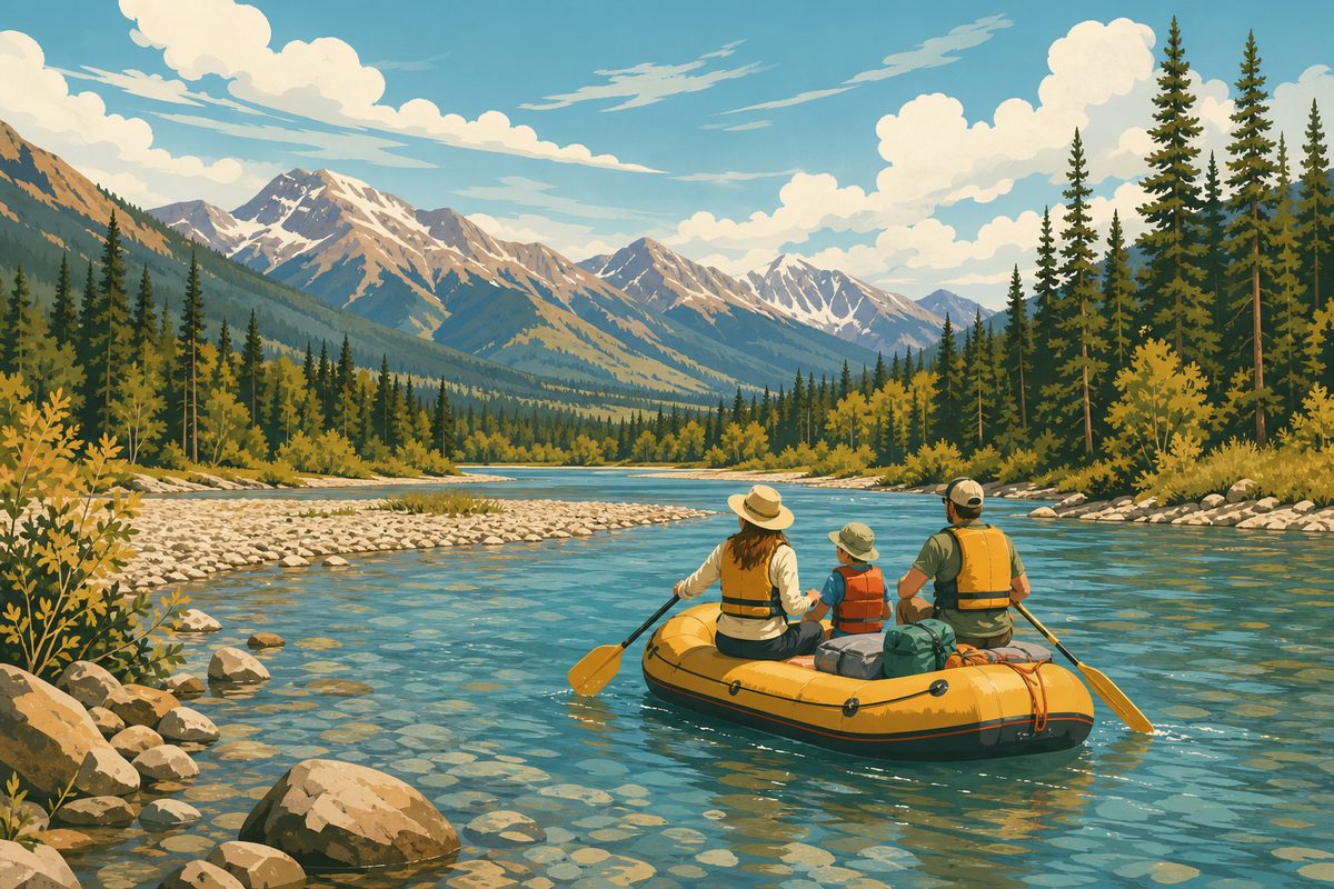
Shoreline paddles from Somers and Yellow Bay, the Big Arm crossing, and how fast afternoon wind turns a flat morning into whitecaps.
Somers · Yellow Bay · Big Arm Read the guide →
How to get across, where to land, and what lives there: bighorn sheep, mule deer, bald eagles and a small band of wild horses.
Big Arm Bay · day use Read the guide →
The gentle stretches of the North Fork and the slow, looping main stem above the lake. Put-ins, take-outs and realistic float times.
North Fork · main stem near Kalispell Read the guide →
Lakeshore state park camping, paddle-in sites, and how to pair two days on the water with a day in Glacier National Park.
State park units · Glacier NP Read the guide →
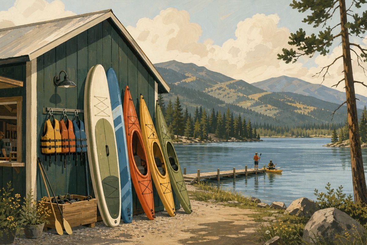
An unpaid, unaffiliated look at what you can rent around the lake, what to bring yourself, and which launches are easiest to carry a boat to.
No sponsored listings Read the guide →The water is the reason to come. The mountains around it are the reason to stay an extra day.


Trail #146 leaves US Highway 2 and reaches this lake quickly, on the edge of the Great Bear Wilderness. An easy half-day from the north end of the lake.
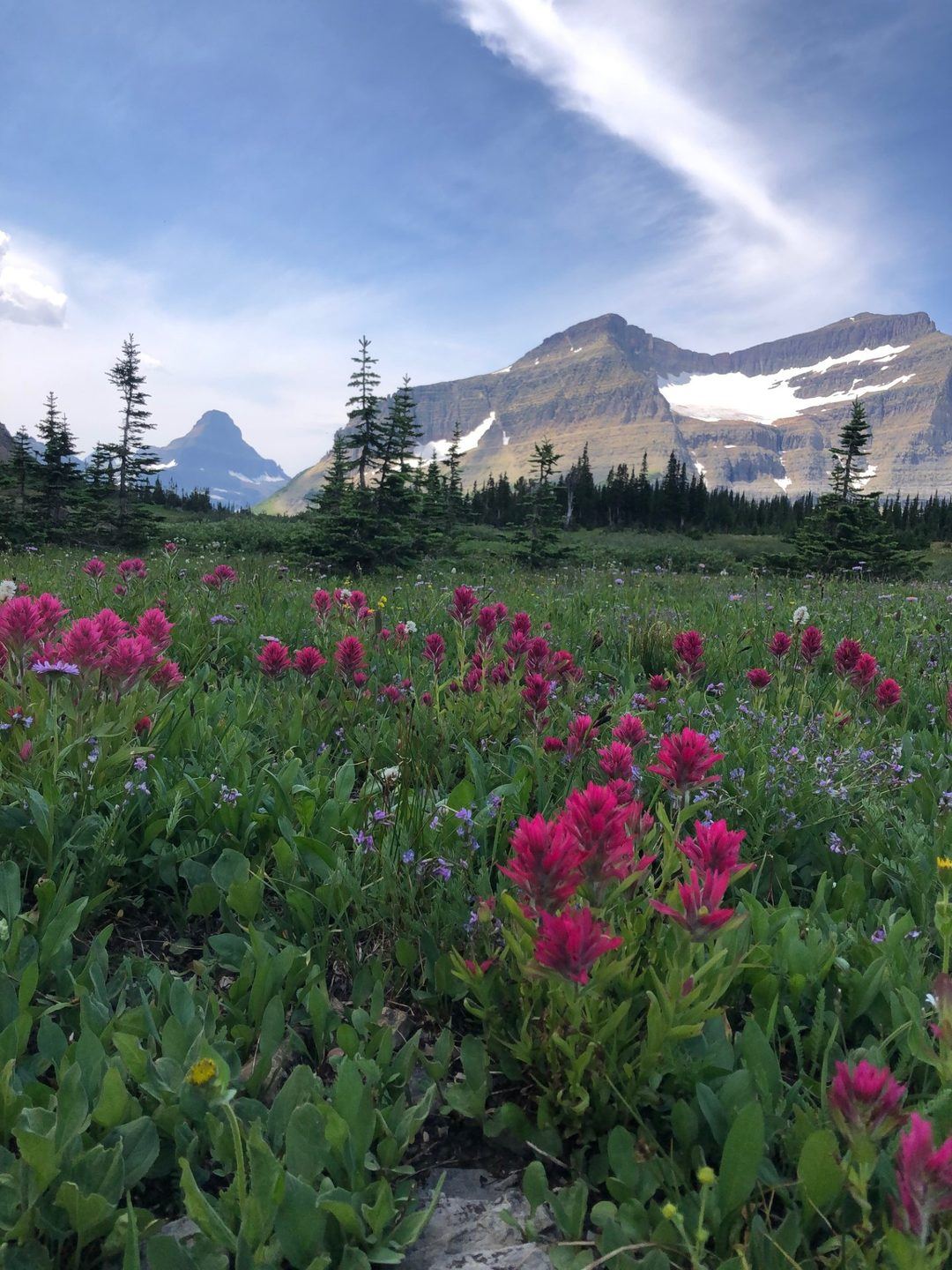
A trail network of alpine lakes in the Swan Range above Bigfork, set aside for people on foot. The closest high country to the lake's east shore.
The Flathead Valley leads straight to West Glacier, roughly an hour's drive from the north shore. Most multi-day trips here mix water days with a park day.

No bridge, no ferry, no road. The island is a Montana state park, day use only, and the crossing from the Big Arm shore is short but fully exposed to the lake's wind.

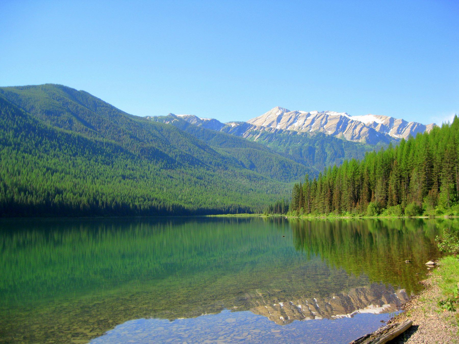
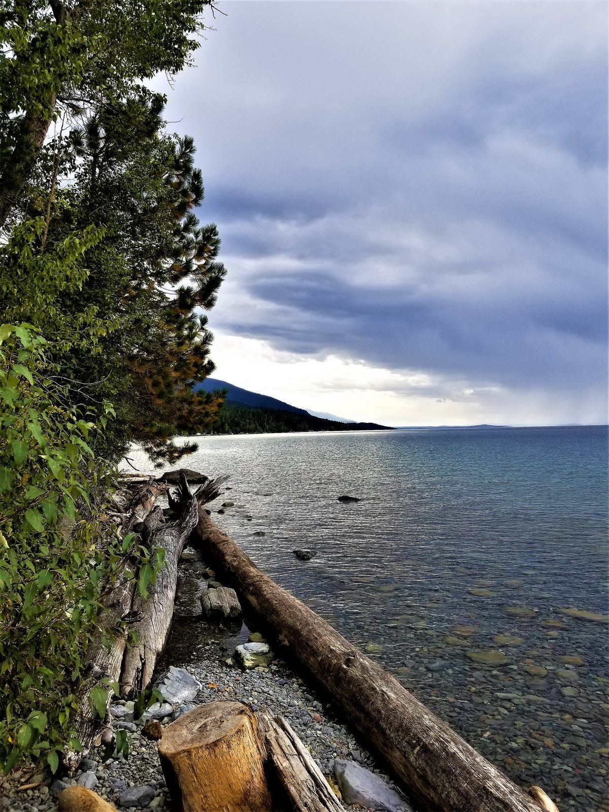
That shoreline photo was taken on a September afternoon. On open water, conditions like that arrive quickly.
Wind usually builds through the afternoon. Plan crossings for the morning and hug the shore after lunch.
The lake stays cold even in midsummer. A capsize far from shore is dangerous. Wear the life jacket; don't just pack it.
Montana requires every watercraft, including kayaks and paddleboards, to stop at open aquatic invasive species inspection stations.
The southern half of the lake is within the Flathead Indian Reservation. Check Confederated Salish and Kootenai Tribes rules before fishing or camping there.
This panel reads live public data directly in your browser: the National Weather Service (api.weather.gov) for wind, air temperature and active alerts, and the USGS water-data API for streamgage 12358500 on the Middle Fork near West Glacier. No backend, no cache — if it fails to load, your browser blocked the request or one of the services is down; the values below simply won't update.
This Flathead Lake Montana guide gets asked the same handful of questions on repeat — here's the short version of each.
No. This is an independent editorial guide with no booking flow, no operator partnerships, and no referral fees. Recommendations name real places, not businesses.
For most first-time visitors, the honest answer is a morning kayak or paddle from Somers or Yellow Bay followed by a look at Wild Horse Island from the water — it covers the calm-water and open-water sides of the lake in one day without committing to the Big Arm crossing itself.
Yes. The main-stem Flathead River near Kalispell and the sheltered shoreline near Somers are both genuinely easy, family-appropriate water — this recreation guide separates those from the harder whitewater and open-lake crossings so you're not guessing which is which.
Six named guides — whitewater rafting, sea kayaking, Wild Horse Island, float trips, multi-day trips, and gear rentals — plus a trails section for time spent off the water. That's deliberately not exhaustive; it's the six that matter most for planning a real trip.
Lakeshore state park campsites are worth reserving ahead in July and August. Paddling and day-use don't require a booking, but any watercraft does need to stop at an open aquatic-invasive-species inspection station before launching.