Most visitors who circle Flathead Lake eventually pass through Polson, whether they mean to stop or not. It sits at the lake’s southern tip, where the open water narrows and funnels into the Flathead River, and where U.S. Highway 93 crosses from the lake’s west shore to its east. It isn’t a resort strip and it isn’t a wilderness trailhead — it’s a real, working lake town that happens to sit at one of the more geographically interesting points on the whole Flathead system: the spot where a 200-square-mile lake becomes a river again.
This guide covers where Polson actually sits in relation to the lake, the river, and the dam below town; how that location connects to the whitewater and calm-water stretches covered elsewhere on this site; and what a visitor passing through should know about the Flathead Indian Reservation land the town borders.
Where Polson Sits on the Lake
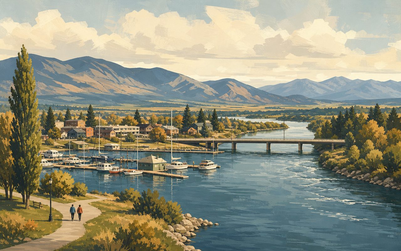
Flathead Lake is the largest natural freshwater lake in the western United States, and Polson occupies its southernmost point, in Lake County, Montana. Unlike the lake’s east and west shore communities, which mostly face open water, Polson sits right at the narrowing where the lake tapers down and drains out — a geography that makes it the natural gateway for anyone approaching the lake from the south, or looping around it in either direction.
That position gives Polson a different feel than a mid-lake shoreline town. Boat traffic here isn’t just recreational lake cruising; it also includes the current moving south toward the outlet, and views from town take in both the open lake to the north and the beginning of river country to the south. U.S. Highway 93 runs directly through Polson, making it the connecting point between the Flathead Valley communities north of the lake and Missoula to the south — practically speaking, if you’re driving the loop around Flathead Lake or heading north toward Glacier National Park from Missoula, you’re passing through or near Polson at some point.
The town’s name is newer than the spot itself. The Salish name for the site was Pied e’ lai, “Foot of the lake,” and Baptiste Eneas ran a ferry across the river here as early as 1864. When Henry Lambert opened a trading post nearby in 1881, the settlement became known informally as Lambert’s Landing, and it wasn’t until 1898 that the community took the name of pioneer rancher David Polson. Incorporation didn’t follow for another twelve years, arriving in 1910 alongside a sudden wave of homesteaders drawn in when the Flathead Indian Reservation opened to non-tribal settlement — a reminder that the town at the “foot of the lake” is considerably older than the name on its city limit sign.
The River’s Exit and the Dam Below Town
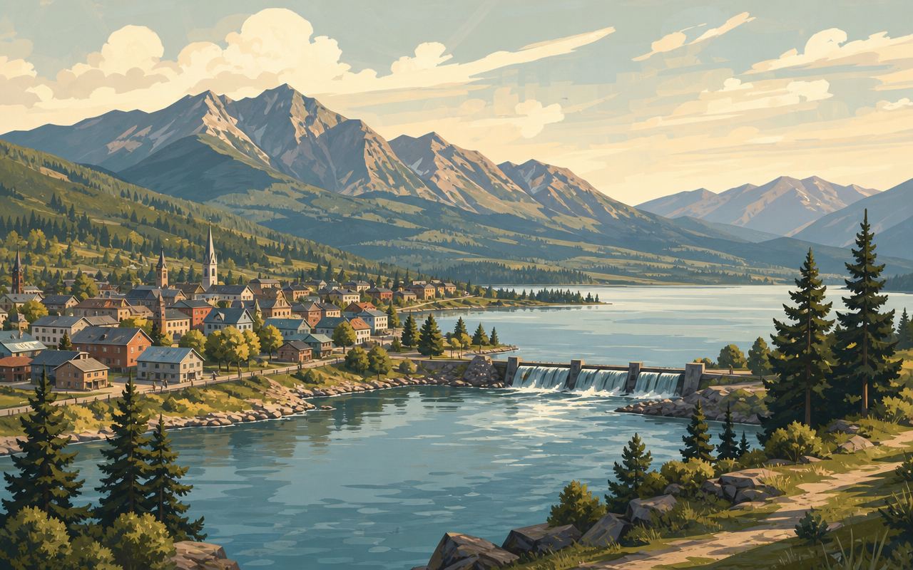
Just south of downtown, the lake drains into Polson Bay, and the Flathead River picks up its course again as the Lower Flathead River. A few miles downstream, the river runs into a dam that most long-time visitors and older maps still call Kerr Dam — a concrete gravity-arch structure completed in 1938. That name has changed. In 2015, the Confederated Salish and Kootenai Tribes completed their long-pursued acquisition of the dam, renaming it the Séliš Ksanka Ql̓ispé Dam (commonly shortened to SKQ Dam) in honor of the Salish, Kootenai, and Pend d’Oreille people. It’s now operated by Energy Keepers, Inc., a tribally owned corporation — the first time a dam of this scale in the United States has been owned and run by a Native American tribe.
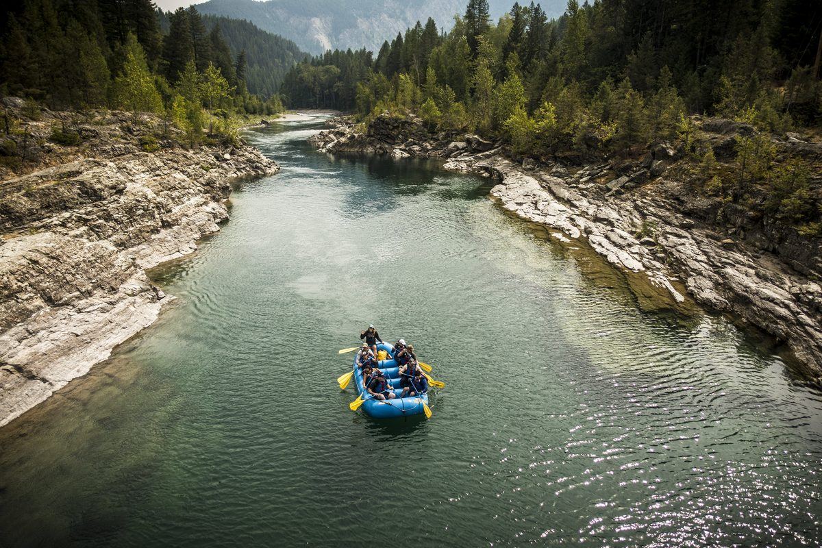
Below the dam, the character of the river changes from the lake it just left. This stretch — the Lower Flathead — is covered in more detail in this site’s whitewater rafting guide, which draws a clear line between it and the tighter, more technical whitewater run near West Glacier further upstream in the watershed. Below the dam at Polson, the river is bigger in volume, calmer, and runs through open valley country rather than a canyon, with flows shaped partly by dam operations rather than snowmelt alone. It’s also a different jurisdiction: the Lower Flathead flows entirely through the Flathead Indian Reservation, so recreation there — floating, rafting, fishing — falls under tribal management rather than standard state rules, and anyone planning to be on that water should check current requirements with CSKT Fish, Wildlife, Recreation & Conservation first.
Wild Horse Island and the Lake to the North
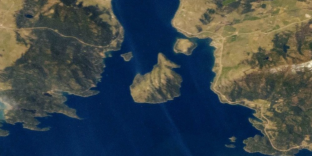
Look north from Polson and the lake opens up into the water most visitors picture when they think of Flathead Lake — including Wild Horse Island, the largest island on the lake and the subject of its own guide on this site. Polson has marinas and boat launches that put visitors onto that open water, but it isn’t the closest jumping-off point for the island itself. As covered in this site’s Wild Horse Island guide, the shortest, most commonly used crossing runs from the Big Arm area, further north along the lake’s west shore, where the open-water distance to the island is considerably shorter than a run up from Polson would be.
That doesn’t make Polson irrelevant to a Wild Horse Island trip — it’s still a reasonable base for exploring the south end of the lake, and boaters comfortable with a longer crossing can reach the island from Polson’s launch points. But anyone specifically planning a Wild Horse Island visit and starting from Polson should budget for more open water than the standard Big Arm crossing, check wind and lake conditions before heading out, and confirm current boat rental or tour options with a local marina rather than assuming Polson-based transportation to the island works the same way.
The Miracle of America Museum
Just outside downtown, fronting Highway 93, Polson is home to what’s often described as the largest and most diversified museum in Montana: the Miracle of America Museum. Its roots go back further than its buildings do — founder Gil Mangels traces his collecting instinct to finding an arrowhead as a young boy in the Mission Valley, and he and his wife Joanne first began showing their growing collection in a small building on the east shore of Flathead Lake in the early 1970s. The museum was formally founded in 1981, and in 1985 the Mangels purchased the five-acre Highway 93 parcel that’s remained its permanent home since. It has grown since into a genuinely sprawling collection — more than 600,000 artifacts spanning the rise of the nation, housed partly in a main exhibit building and partly across a 42-building Pioneer Village that recreates a working small town from roughly 1890 through the 1960s. It draws a real and international audience for a town Polson’s size; in a single recent year, it hosted more than 17,000 visitors by early October, including travelers from some 35 countries.
The museum sits well outside the scope of this site’s water-focused guides, but it’s worth knowing about for exactly the reason so many visitors stumble onto it: anyone driving Highway 93 through Polson, whether heading to a boat launch or simply passing through on the loop around the lake, drives directly past it. For a rainy day, a break from the water, or simply a sense of what draws visitors to this end of the lake beyond the shoreline itself, it’s one of the more substantial roadside attractions anywhere in the Flathead Valley.
Getting to Polson and Getting Oriented
Highway 93 is the main artery through Polson, running north to Kalispell and the rest of the Flathead Valley and south toward Missoula. Because the highway follows the lake’s west shore for much of that northern stretch, arriving in Polson from the north means driving alongside the lake for a good portion of the trip, with regular pullouts and lake views along the way. Coming from the south, the drive up from Missoula climbs out of the Missoula valley and follows the Flathead River’s lower reaches before the lake itself comes into view near town.
A loop drive around the entire lake is a common way to see Flathead Lake in a single day, and Polson’s position at the south end makes it a natural starting or ending point for that loop, since it’s the only town that sits directly at the lake’s outlet rather than partway up either shore. Because road conditions, seasonal closures, and drive times can vary — particularly in winter, when mountain weather affects both the Highway 93 corridor and side roads around the lake — it’s worth checking current conditions before planning a trip that treats Polson as a quick stop rather than a destination in its own right.
Visitors should also keep in mind that Polson sits within the Flathead Indian Reservation, home to the Confederated Salish and Kootenai Tribes. That matters less for a simple drive-through stop than it does for anyone planning to fish, float, or recreate on the water immediately around and below town, where tribal jurisdiction and permit requirements apply in ways that differ from state-managed sections of the lake and river further north.
Frequently asked questions
Where exactly is Polson, Montana?
Polson sits at the southern end of Flathead Lake, in Lake County, Montana, right where the lake narrows and drains into the Flathead River. It's the town most visitors touring the lake's south shore pass through, and it sits on U.S. Highway 93, the main north-south road connecting the Flathead Valley to Missoula.
What is the dam below Polson called now?
The dam a few miles downstream of Polson was built in 1938 as Kerr Dam, named for a Montana Power Company executive. In 2015, the Confederated Salish and Kootenai Tribes (CSKT) completed acquisition of the dam and renamed it the Séliš Ksanka Ql̓ispé Dam — SKQ Dam for short — honoring the Salish, Kootenai, and Pend d'Oreille people. It's operated by the tribally owned Energy Keepers, Inc., making it the first dam of its size owned and run by a Native American tribe in the United States.
Is Polson part of the Flathead Indian Reservation?
Yes. Polson sits at the northern edge of the Flathead Indian Reservation, the homeland of the Confederated Salish and Kootenai Tribes (Bitterroot Salish, Kootenai, and Pend d'Oreille). The reservation extends south from the lake across a large area of northwestern Montana, and Polson itself falls within its boundary, alongside land and businesses under other ownership.
Does the Flathead River actually start in Polson?
Not quite — the Flathead River system is much longer than that, fed by forks that rise near Glacier National Park far to the north. But the stretch known as the Lower Flathead River begins right at Polson, where the lake drains out through Polson Bay and the river resumes its course south toward the dam and, eventually, the Clark Fork River.
Can I get to Wild Horse Island directly from Polson?
Polson has marinas and boat access to the open lake, but the shortest, most commonly used crossing to Wild Horse Island runs from the Big Arm area, further up the lake's west shore, not from Polson itself. Anyone planning that trip from Polson should expect a longer stretch of open water than the Big Arm crossing and should check current conditions and options with a local marina before heading out.
Can I raft or float the river right below Polson?
The Lower Flathead River below the dam flows through the Flathead Indian Reservation, and it's a different stretch of water than the whitewater canyon rafted near West Glacier — bigger, calmer, and shaped by dam releases as much as by season. Anyone planning to float, raft, or fish this stretch should check current tribal permit and access requirements with CSKT Fish, Wildlife, Recreation & Conservation before launching.
How far is Polson from Kalispell and Missoula?
Polson sits roughly midway along the U.S. Highway 93 corridor that connects the two cities — a shorter drive north to Kalispell and the rest of the Flathead Valley, and a somewhat longer one south to Missoula. Exact drive times vary with the route and time of year, so check current road conditions before a trip, especially in winter.
Is there anything to do in Polson besides the lake and river?
The Miracle of America Museum, on Highway 93 at the edge of town, is the town's best-known non-water attraction — a large, independently built museum with more than 600,000 artifacts and a 42-building pioneer village recreating the period from roughly 1890 through the 1960s. It's a genuine roadside stop most visitors driving through Polson pass directly by.