Where Bigfork Sits on the Lake
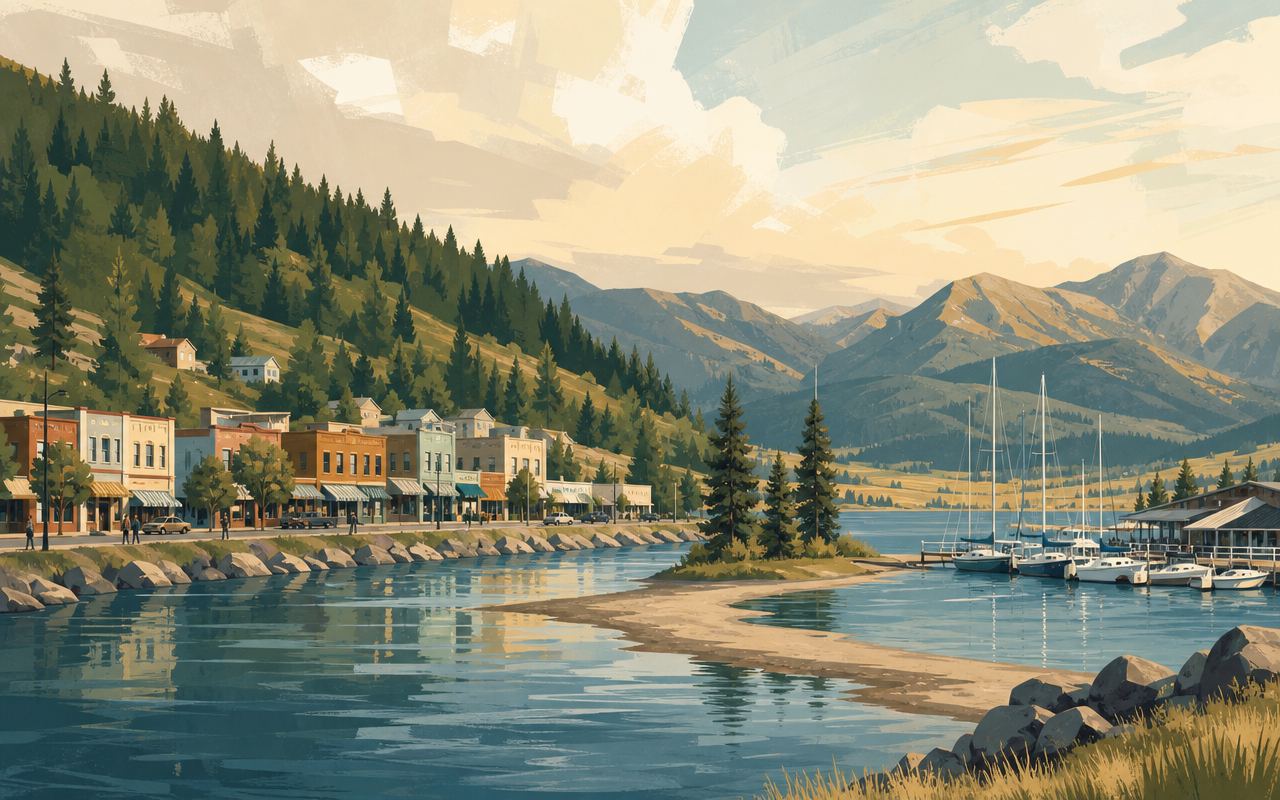
Bigfork sits at the northeast corner of Flathead Lake, in Flathead County, tucked into a sheltered bay where the Swan River empties into the lake at the center of town. That protected cove is the reason locals call it “the Village by the Bay” — it sits apart from the lake’s more exposed open water, which begins just beyond the bay’s mouth.
Because it sits at the top of the lake, Bigfork functions as one of the main access points at the north end, roughly opposite Polson at the lake’s southern tip. Montana Highway 35, the two-lane road that traces the entire east shore, effectively starts here and runs south past a string of bays, orchards, and public access points on its way down the lake. To the north, Highway 35 connects into Highway 83 near Somers and Ferndale, linking Bigfork into the wider Flathead Valley road network rather than leaving it isolated on the shoreline.
Bigfork is a census-designated place rather than an incorporated town, with a population of 5,118 at the 2020 census — small enough to walk end to end, but large enough to support a genuine downtown rather than a scattering of buildings.
Flathead Lake itself is the largest natural freshwater lake by surface area west of the Mississippi River in the contiguous United States, covering roughly 197 square miles and stretching about 27 miles long. Sitting at the lake’s north end, Bigfork is close to where both the Flathead River and the Swan River feed into the lake, rather than near its single outlet at Polson on the southern end.
What Bigfork Is Known For
Bigfork’s identity was built around the arts well before it became known as a lake-recreation stop. Its compact downtown holds a concentration of galleries and studios unusual for a town its size, and it’s regularly described as one of the more significant small-town arts communities in northwest Montana. That reputation is anchored by the Bigfork Festival of the Arts, held every August, when artists from around the region set up along the village’s streets.
The town’s other long-running institution is live theater. The Bigfork Summer Playhouse was founded in 1960 by University of Montana theater faculty as a summer stage for student performers, opening its first season with the comedy “Blithe Spirit.” It has run a full musical season every year since — a streak that reached 65 seasons in 2024 — and is considered one of the more notable small-town professional theater companies in the country, having sent alumni on to national stage and film careers. Its best-known alumnus is Academy Award winner J.K. Simmons, who spent six seasons performing and directing at the Playhouse early in a 20-year live-theater career that later included five years on Broadway, before he became a film and television actor.
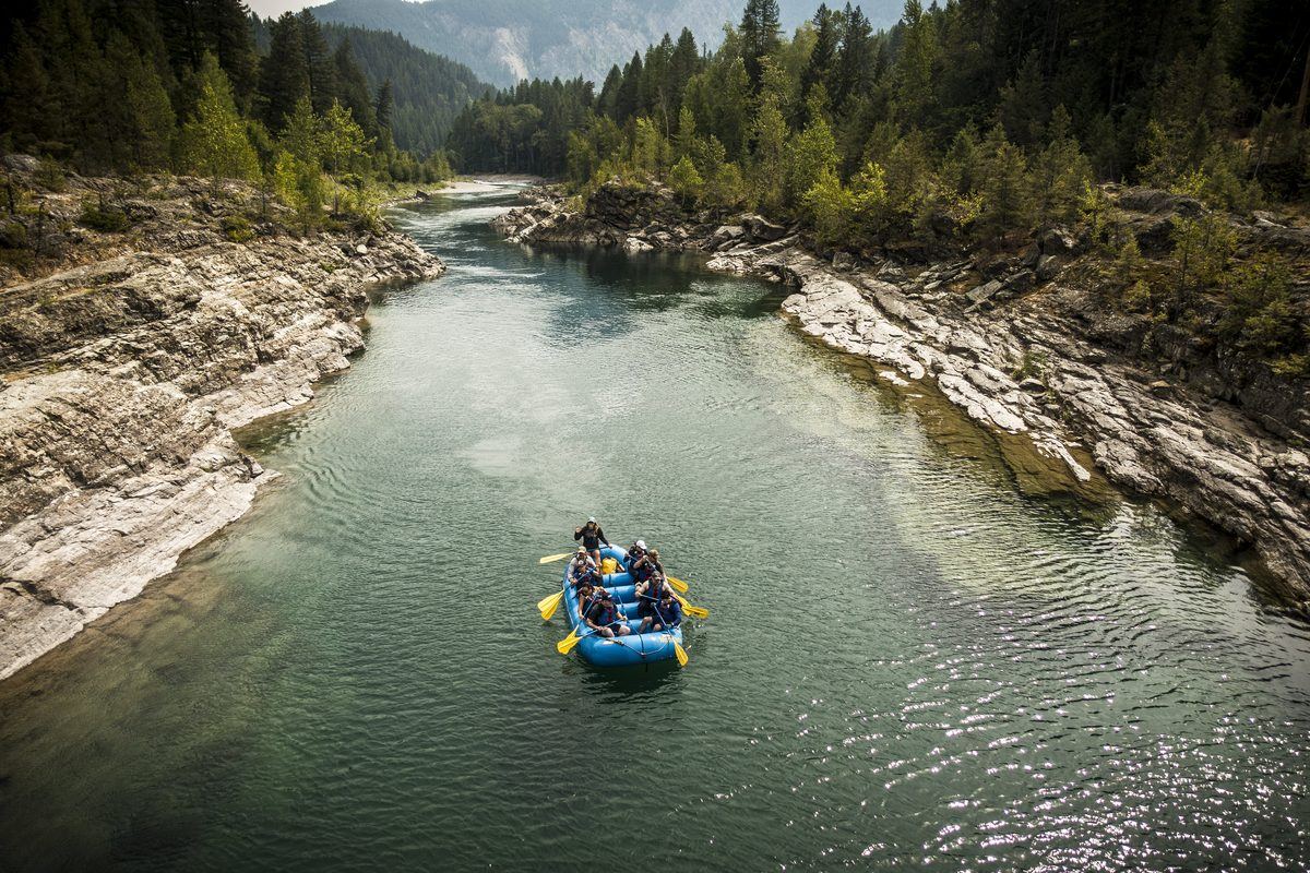
Water runs through Bigfork’s character just as directly. The final mile of the Swan River, known locally as the “Wild Mile” — a name that only stuck in 1992, after festival organizers retired the section’s earlier, blunter nickname, the “Mad Mile” — drops through the middle of town on its way into the lake, falling roughly 100 feet over about a mile and a quarter. During spring snowmelt, that stretch becomes genuine Class IV whitewater; by late summer, flows drop and it settles into a more moderate Class II run. The Bigfork Whitewater Festival has been held on this stretch each spring for roughly fifty years, drawing paddlers and spectators who watch from the Swan River Nature Trail along the bank — a rare setup where the whitewater action runs directly through a town center rather than out in the backcountry. The festival itself traces back to an impromptu 1970s gathering of local kayakers, funded on a few dollars from a local bar and fueled by pizza; it grew from a straightforward kayak race into an event that now folds in rafting and stand-up paddleboarding, and by 2025 had reached its 50th consecutive running.
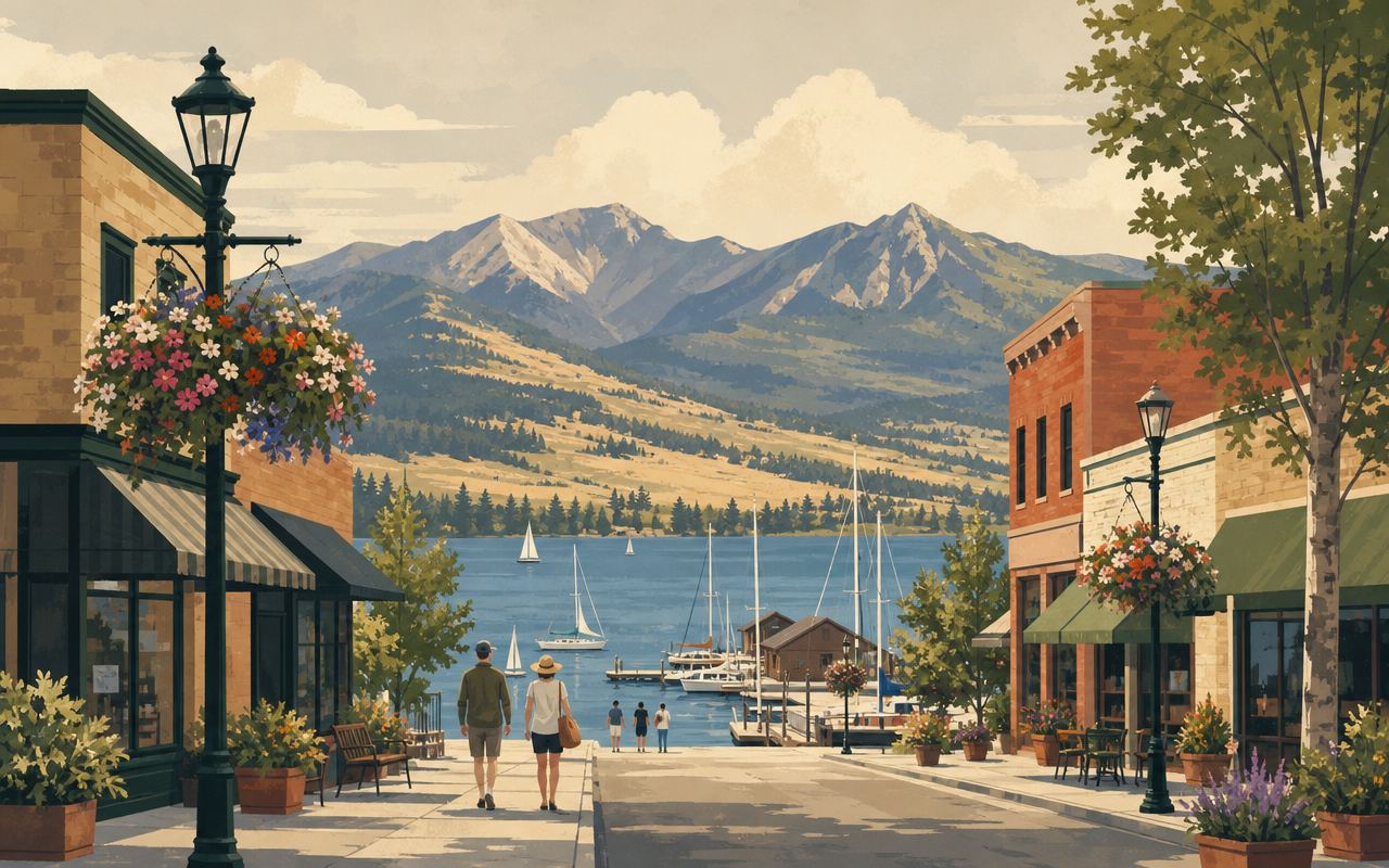
Beyond the river, Bigfork’s sheltered bay holds several marinas and boat harbors, giving the town a working relationship with the open lake that goes beyond scenery. It’s a genuine embarkation point for boats heading out onto Flathead’s main body of water, not just a viewpoint above it. That mix of arts-town identity and working harbor is part of what genuinely distinguishes Bigfork from a purely scenic lakeside stop: a visitor can walk from a gallery opening straight down to a working boat dock in a few unhurried minutes’ stroll, which is a combination that’s still fairly unusual even among Flathead Lake’s other shoreline communities.
Electric Avenue and the Town’s Hydroelectric Roots
Bigfork’s main downtown street carries an unusual name for a small Montana village — Electric Avenue — and the reason traces back to the town’s first year of existence. In 1900, Lafayette Tinkel and a small crew of employees dug a canal by hand to divert water from the Swan River to a wooden flume and ditch that fed a powerhouse more than a mile away. By 1902, that plant was generating electricity, putting power into Bigfork just a year after the townsite itself was platted in 1901 by Everit L. Slater. The line running above the town’s main street gave the avenue its name, and the powerhouse became central to the village’s early identity in a way few other small Montana towns of that era could claim.
The Bigfork Hydroelectric Project has continued generating power on the Swan River for well over a century since, most recently under PacifiCorp ownership. Its long-term future has become an open question in recent years: PacifiCorp has moved to divest the aging facility and fielded proposals from parties interested in taking it over, and local boaters and conservation groups have discussed what a stretch of the Swan freed from the dam might look like. Nothing about that process changes what a visitor sees walking Electric Avenue today — a compact downtown of galleries and shops named for a power line that’s been there since the town’s founding year — but it’s a reminder that the “Wild Mile” whitewater run through the middle of Bigfork sits just downstream of a piece of infrastructure nearly as old as the village itself.
How Bigfork Connects to Flathead Lake’s Water Guides
For paddlers and boaters exploring Flathead Lake, Bigfork is a useful reference point on the map, not just a scenic stop along the way.
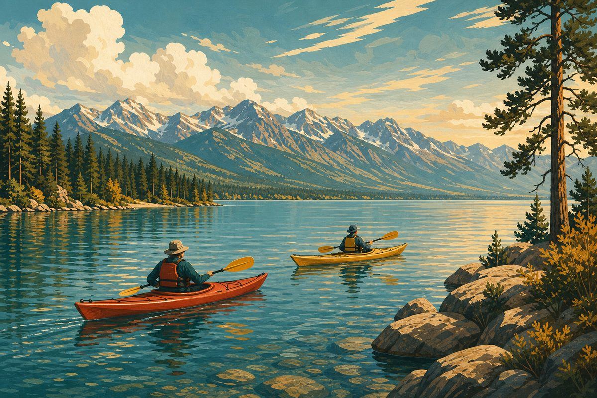
Wayfarers State Park sits half a mile south of town on Highway 35, directly on the lake, with a boat launch and dock — usable roughly mid-June through early September, depending on lake level — alongside a 30-site campground. It’s one of the more accessible put-ins near the top of the lake for anyone launching a kayak or small boat rather than working from open shoreline.
Heading south from Bigfork, the same Highway 35 route leads toward Yellow Bay, roughly 12 to 15 miles down the east shore. Yellow Bay is one of the access points referenced elsewhere on this site for lake paddling and shoreline exploration, and the drive between the two links Bigfork directly into the broader chain of bays and public access sites that make up the east-shore route.
Inland and uphill from town, the Jewel Basin Hiking Area is reached by driving north on Highway 35 to Highway 83, then following Echo Lake Road and Jewel Basin Road to the main trailhead, which sits roughly 2,500 vertical feet above Bigfork and the lake. It isn’t a lake destination itself, but its closeness to Bigfork means a lakeside base in town can double as a jumping-off point for both water and high-country trail in the same trip.
Worth noting for anyone cross-referencing this site’s whitewater coverage: the Wild Mile through Bigfork is a distinct feature from the float and rafting stretches described in the Flathead River whitewater guide. It’s a short, technical, spring-fed run on the Swan River inside the village itself, separate from the larger Flathead River system to the north — a paddling destination in its own right rather than an extension of it.
Getting There
Bigfork is reached via Montana Highway 35, which runs the length of the lake’s east shore and ties into Highway 83 near Somers and Ferndale at its north end. The closest airport is Glacier Park International Airport (FCA) in Kalispell, about 26 miles and roughly a 35-minute drive from Bigfork, making the town a realistic day trip from Kalispell or a first or last stop on a broader loop through the Flathead Valley toward Glacier National Park.
Because Highway 35 hugs the shoreline for its full run between Bigfork and Polson, the drive itself functions as a tour of the lake’s east side, passing several of the same bays and public access points referenced throughout this site’s kayaking and whitewater guides.
Frequently asked questions
Where is Bigfork, Montana located on Flathead Lake?
Bigfork sits at the northeast corner of Flathead Lake, in a sheltered bay where the Swan River flows into the lake. It marks the north end of the lake's east-shore route, roughly opposite Polson at the lake's southern tip.
Is Bigfork an incorporated town?
No. Bigfork is a census-designated place in Flathead County rather than an incorporated city, with a population of 5,118 at the 2020 census.
What is Bigfork known for?
Bigfork is known primarily as an arts community, with a concentrated downtown of galleries and studios, the annual Bigfork Festival of the Arts each August, and the long-running Bigfork Summer Playhouse, a summer musical theater founded in 1960.
Is there whitewater in Bigfork itself?
Yes. The final mile of the Swan River, known as the 'Wild Mile,' runs through the center of town and drops about 100 feet in roughly 1.25 miles. It reaches Class IV whitewater during spring runoff and settles to a more moderate Class II by late summer. The Bigfork Whitewater Festival has been held on this stretch each spring for around fifty years.
Why is Bigfork's main street called Electric Avenue?
It's named for the power line that ran above the street from the Bigfork Hydroelectric Project, built on the Swan River in 1900-1902, just after the townsite itself was platted in 1901. The dam and powerhouse were central to the village's identity from its first year, and the name stuck.
How far is Bigfork from Yellow Bay?
Yellow Bay is roughly 12 to 15 miles south of Bigfork along Montana Highway 35, the two-lane route that traces the lake's east shore.
How do I get from Bigfork to the Jewel Basin Hiking Area?
From Bigfork, drive north on Highway 35 to Highway 83, then follow Echo Lake Road and Jewel Basin Road to the main trailhead. The trailhead sits roughly 2,500 vertical feet above Bigfork and the lake, and the final stretch of road is steep gravel.
What's the closest airport to Bigfork?
Glacier Park International Airport (FCA) in Kalispell is the closest airport, about 26 miles and roughly a 35-minute drive from Bigfork.